Applications of Mobile Mapping in Smart Cities Development
Applications of Mobile Mapping in Smart Cities Development

Introduction
As 2024 came to a close, over half the global population was living in urban areas. This already huge number is expected to grow to about 70 percent by 2050. Although showing signs of progress, an increased urban population has its own set of challenges and opportunities.

With urbanization accelerating globally, cities are embracing innovative solutions such as Smart City initiatives, which leverage technology and data analytics to enhance urban living. Central to these initiatives is mobile mapping. This is a technology that captures geospatial data in real-time, providing detailed representations of urban environments.
By utilizing mobile mapping, cities can monitor infrastructure, manage traffic, and plan urban spaces more effectively. These solutions pave the way for smarter, more responsive urban development.
What is Mobile Mapping and how does it work?
Mobile Mapping is a process that involves collecting geospatial data from a moving vehicle using various sensors to create a detailed and accurate representation of the environment.
These sensors include:
High-resolution cameras
LiDAR (Light Detection and Ranging) systems
GPS(Global Positioning System) units
Other remote sensing technologies


Once the geospatial data is captured, there are several steps required to transform the data into actionable insights:
Data Processing - Initially, data from GPS and Inertial Measurement Units (IMUS) is processed. This processing determines the precise path and orientation of the mapping vehicle. Simultaneously, LiDAR data is transformed into a dense 3D point cloud. The point cloud represents the environment’s surfaces and structures. High-resolution images captured during the survey are also georeferenced. If necessary, these are stitched together to form comprehensive visual representations.
Data Integration - Data from various sensors is then integrated to produce a cohesive and accurate model of the environment. This fusion enhances the reliability and richness of the geospatial data.
Data Analysis - Following this, key features such as road signs, building facades, and utility poles are identified for further examination. Additionally, new data is compared with existing datasets. Through this, changes in the environment, like road modifications, are detected.
Data Application - Finally, the refined data is used to develop digital twins - a virtual replica of physical objects and environments. These twins contribute to urban planning and infrastructure management. The geospatial data is also incorporated into Geographic Information System (GIS). This allows city planners to visualize and analyze spatial data more effectively.

These steps ensure that the raw data from mobile mapping is efficiently converted into valuable insights, allowing for informed decision making in smart city development.
Application of Mobile Mapping in Smart Cities
Mobile mapping has played a central role in the development of smart cities. It offers many diverse applications that enhance urban living through precise data collection and analysis. Some key applications include:
Infrastructure Management
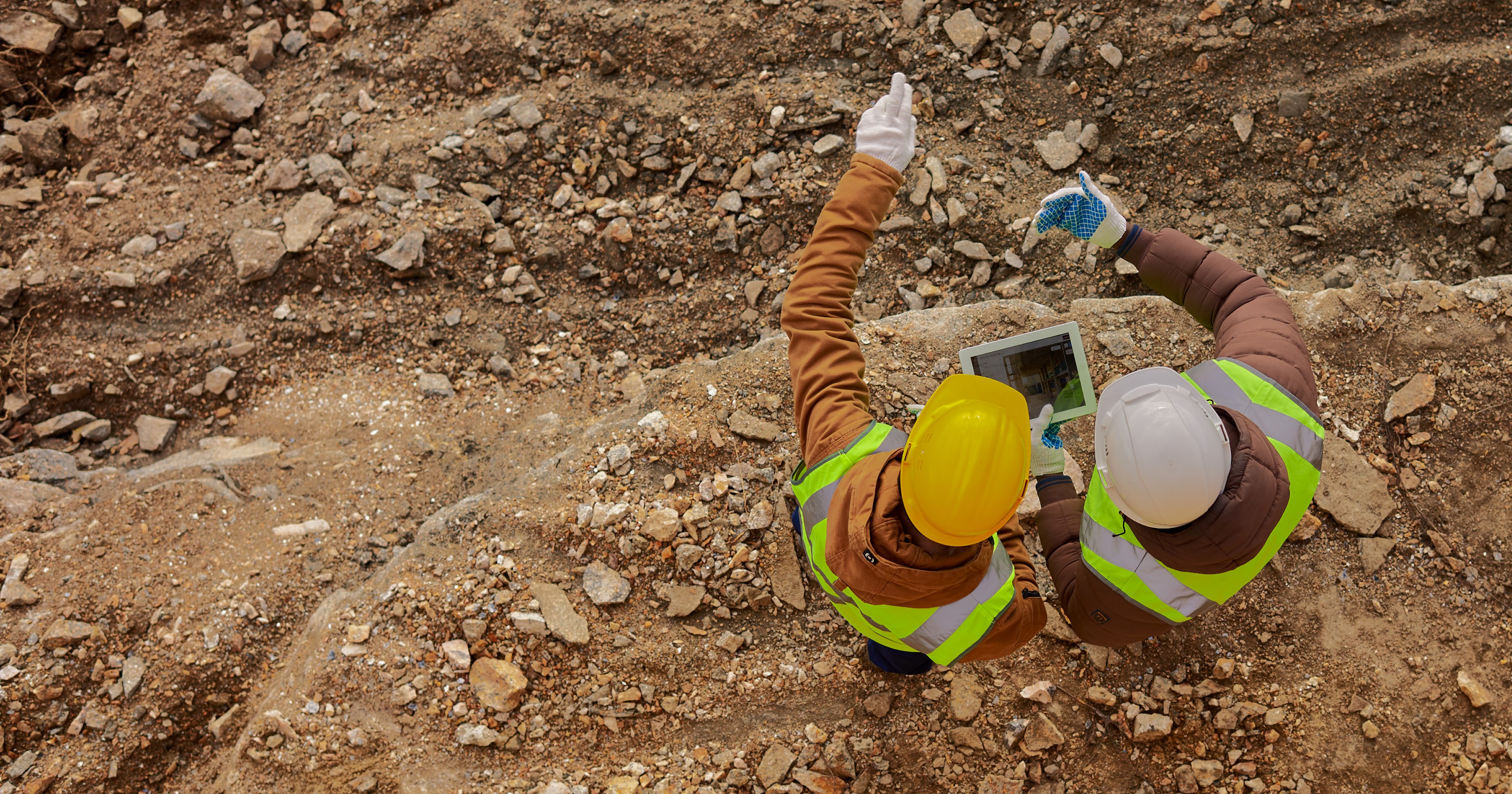
City planners and administrators need to efficiently manage urban infrastructure. This includes assessing the health of public spaces, roads, bridges, highways, and even railways. An efficient assessment allows vital insights into the safety and longevity of the infrastructure, as well as prioritization of maintenance work.
Mobile mapping systems, such as Kodifly’s SS360 MMS capture high-resolution data, without disrupting traffic. Using LiDAR and IOT technologies, these systems provide critical insights into infrastructure conditions. This enables proactive maintenance and informed decision-making.

Urban Planning and Development
Effective urban planning and development requires accurate geospatial data. Mobile mapping can create detailed 3D models of cityscapes, which help planners visualize the current environment and forecast future developments. This supports various tasks such as zoning, land use planning and analysis, including the design of public spaces. It helps ensure that urban growth is well-organized and sustainable.
For instance, Can-Explore utilizes advanced mobile scanning systems like the Leica Pegasus TRK 700 Neo for capturing highly accurate geospatial data from moving vehicles. This technology enables rapid data acquisition over an extensive area without disrupting daily activities.

Asset Management
Cities possess extensive assets including streetlight, utilities, and signage. These require regular monitoring and maintenance. Mobile mapping systems facilitate the creation of comprehensive inventories of these assets by capturing their precise locations and conditions. This enables efficient asset management, timely maintenance, and informed budgeting for repairs or upgrades. The technology also streamlines asset tracking and inventory management.
Kodifly’s AssetTrack system offers high-precision asset tracking, integrating digital twins to simulate and analyze infrastructure for better decision-making.

Environmental Monitoring
Smart cities require careful environmental monitoring. Mobile mapping enables real-time air quality tracking, vegetation management, and waste monitoring.
Kodifly’s TreeGuard system leverages mobile mapping for vegetation monitoring along railway tracks, identifying encroachments which might pose safety risks. This automates maintenance scheduling and reduces manual inspections.

Traffic and Mobility Management
Inefficient transportation planning and congestion are huge urban challenges bringing cars to standstills on the roads. Mobile mapping helps optimize traffic flow, improve road safety, and support intelligent transportation systems.
AI-driven traffic flow management systems such as Kodifly’s MobilityMetrics collect real-time data using LiDAR, cameras, GPS, and other sensors to analyze congestion patterns and optimize traffic traffic signals.
Additionally, our SignTrack solution detects and classifies traffic signs to ensure accurate navigation data, reducing the risk of accidents.

Challenges and Considerations
Where there are many advantages of using Mobile Mapping in smart city development, there are several challenges to be considered as well to ensure effective implementation.
Data accuracy and integration is among the primary challenges of this approach. Since there are so many sources involved in the geospatial data mobile mapping collects, there are chances for discrepancies. Different sensors could have different, inaccurate data due to limitations or due to environmental factors. To ensure high precision, advanced data processing techniques, sensor calibration, and seamless integration with GIS and digital twins is required.
Another challenging aspect is data storage and processing power. Substantial storage and computational resources are needed to store the high-resolution imagery, point clouds, and spatial data. Handling this data in real-time also requires efficient data compression, cloud computing, and edge processing. Without proper infrastructure, there would be delays in extracting insights from mobile mapping initiatives.
Regulatory and privacy concerns are also an important point to consider. Mobile mapping involves capturing images and spatial data in public areas. The images may include identifiable information about individuals or private properties. Governments and organizations therefore, must adhere to strict data protection regulations, such as GDPR, to ensure compliance. To maintain public trust and legal compliance, it is crucial to implement anonymization techniques, restricted data access policies, and ethical data collection practices.
Apart from these, it is also critical to ensure interoperability with existing urban systems. Oftentimes, the existing infrastructure includes legacy systems, IoT networks, and city management platforms. Integrating mobile mapping data with these can pose a challenge.
These challenges can be addressed with a combination of technological advancements, regulatory frameworks, and strategic planning. By overcoming these hurdles, cities can unlock the full potential of mobile mapping to drive efficient urban development, improve infrastructure resilience, and enhance overall quality of life of the residents.
Future Trends
With cities evolving at a rapid pace, advancements in mobile mapping technology are sure to play a crucial role in shaping smart urban environments. A key future trend is integrating Artificial Intelligence (AI) and Machine Learning (ML) into mobile mapping systems. AI-driven analytics will enable automated object detection, anomaly identification, and predictive maintenance, making urban management more efficient. Data processing will also be more enhanced with AI. This will allow for more extraction of meaningful insights from vast geospatial datasets in real time.
The integration of mobile mapping with Digital Twin technology will provide a comprehensive view of urban environments. Cities will be able to create highly detailed, real-time virtual replicas of their infrastructure. This will allow planners to simulate and optimize any developments before implementing them in the physical world, which would lead to better resource utilization and improved urban resilience.
Real-time edge computing and 5G connectivity could also be a big part of the future. Edge computing, in favor of cloud processing, would allow the mobile mapping systems to process the data on-site. This would reduce latency and bandwidth requirements. It would facilitate faster data transmission and instantaneous updates for urban planners and traffic management authorities.
Autonomous mobile mapping solutions don’t seem that far off. This includes self driving survey vehicles and drones equipped with mobile mapping systems, which would allow for more enhanced data collection, especially in areas like tunnels, railways, and high-risk construction sites.
Environmental concerns too, are driving the use of mobile mapping for sustainability initiatives. Advanced environmental monitoring solutions could incorporate geospatial sensors to track air pollution, vegetation growth, and climate-related risks. For instance, mobile mapping can support green infrastructure planning by identifying areas for urban reforestation or sustainable drainage systems. As cities prioritize sustainability, mobile mapping could play a key role in data-driven environmental policies.
Mobile mapping is transforming smart cities by enabling data-driven urban planning, infrastructure management, and environmental monitoring. As the technology advances, cities will be able to gain deeper insights for more efficient and sustainable development.
At Kodifly, we continue to push the boundaries of geospatial innovation—explore more on our website to see how technology can shape the cities of tomorrow.
Introduction
As 2024 came to a close, over half the global population was living in urban areas. This already huge number is expected to grow to about 70 percent by 2050. Although showing signs of progress, an increased urban population has its own set of challenges and opportunities.
With urbanization accelerating globally, cities are embracing innovative solutions such as Smart City initiatives, which leverage technology and data analytics to enhance urban living. Central to these initiatives is mobile mapping. This is a technology that captures geospatial data in real-time, providing detailed representations of urban environments.
By utilizing mobile mapping, cities can monitor infrastructure, manage traffic, and plan urban spaces more effectively. These solutions pave the way for smarter, more responsive urban development.
What is Mobile Mapping and how does it work?
Mobile Mapping is a process that involves collecting geospatial data from a moving vehicle using various sensors to create a detailed and accurate representation of the environment.
These sensors include:
High-resolution cameras
LiDAR (Light Detection and Ranging) systems
GPS(Global Positioning System) units
Other remote sensing technologies
Once the geospatial data is captured, there are several steps required to transform the data into actionable insights:
Data Processing - Initially, data from GPS and Inertial Measurement Units (IMUS) is processed. This processing determines the precise path and orientation of the mapping vehicle. Simultaneously, LiDAR data is transformed into a dense 3D point cloud. The point cloud represents the environment’s surfaces and structures. High-resolution images captured during the survey are also georeferenced. If necessary, these are stitched together to form comprehensive visual representations.
Data Integration - Data from various sensors is then integrated to produce a cohesive and accurate model of the environment. This fusion enhances the reliability and richness of the geospatial data.
Data Analysis - Following this, key features such as road signs, building facades, and utility poles are identified for further examination. Additionally, new data is compared with existing datasets. Through this, changes in the environment, like road modifications, are detected.
Data Application - Finally, the refined data is used to develop digital twins - a virtual replica of physical objects and environments. These twins contribute to urban planning and infrastructure management. The geospatial data is also incorporated into Geographic Information System (GIS). This allows city planners to visualize and analyze spatial data more effectively.
These steps ensure that the raw data from mobile mapping is efficiently converted into valuable insights, allowing for informed decision making in smart city development.
Application of Mobile Mapping in Smart Cities
Mobile mapping has played a central role in the development of smart cities. It offers many diverse applications that enhance urban living through precise data collection and analysis. Some key applications include:
Infrastructure Management
City planners and administrators need to efficiently manage urban infrastructure. This includes assessing the health of public spaces, roads, bridges, highways, and even railways. An efficient assessment allows vital insights into the safety and longevity of the infrastructure, as well as prioritization of maintenance work.
Mobile mapping systems, such as Kodifly’s SS360 MMS capture high-resolution data, without disrupting traffic. Using LiDAR and IOT technologies, these systems provide critical insights into infrastructure conditions. This enables proactive maintenance and informed decision-making.
Urban Planning and Development
Effective urban planning and development requires accurate geospatial data. Mobile mapping can create detailed 3D models of cityscapes, which help planners visualize the current environment and forecast future developments. This supports various tasks such as zoning, land use planning and analysis, including the design of public spaces. It helps ensure that urban growth is well-organized and sustainable.
For instance, Can-Explore utilizes advanced mobile scanning systems like the Leica Pegasus TRK 700 Neo for capturing highly accurate geospatial data from moving vehicles. This technology enables rapid data acquisition over an extensive area without disrupting daily activities.
Asset Management
Cities possess extensive assets including streetlight, utilities, and signage. These require regular monitoring and maintenance. Mobile mapping systems facilitate the creation of comprehensive inventories of these assets by capturing their precise locations and conditions. This enables efficient asset management, timely maintenance, and informed budgeting for repairs or upgrades. The technology also streamlines asset tracking and inventory management.
Kodifly’s AssetTrack system offers high-precision asset tracking, integrating digital twins to simulate and analyze infrastructure for better decision-making.
Environmental Monitoring
Smart cities require careful environmental monitoring. Mobile mapping enables real-time air quality tracking, vegetation management, and waste monitoring.
Kodifly’s TreeGuard system leverages mobile mapping for vegetation monitoring along railway tracks, identifying encroachments which might pose safety risks. This automates maintenance scheduling and reduces manual inspections.
Traffic and Mobility Management
Inefficient transportation planning and congestion are huge urban challenges bringing cars to standstills on the roads. Mobile mapping helps optimize traffic flow, improve road safety, and support intelligent transportation systems.
AI-driven traffic flow management systems such as Kodifly’s MobilityMetrics collect real-time data using LiDAR, cameras, GPS, and other sensors to analyze congestion patterns and optimize traffic traffic signals.
Additionally, our SignTrack solution detects and classifies traffic signs to ensure accurate navigation data, reducing the risk of accidents.
Challenges and Considerations
Where there are many advantages of using Mobile Mapping in smart city development, there are several challenges to be considered as well to ensure effective implementation.
Data accuracy and integration is among the primary challenges of this approach. Since there are so many sources involved in the geospatial data mobile mapping collects, there are chances for discrepancies. Different sensors could have different, inaccurate data due to limitations or due to environmental factors. To ensure high precision, advanced data processing techniques, sensor calibration, and seamless integration with GIS and digital twins is required.
Another challenging aspect is data storage and processing power. Substantial storage and computational resources are needed to store the high-resolution imagery, point clouds, and spatial data. Handling this data in real-time also requires efficient data compression, cloud computing, and edge processing. Without proper infrastructure, there would be delays in extracting insights from mobile mapping initiatives.
Regulatory and privacy concerns are also an important point to consider. Mobile mapping involves capturing images and spatial data in public areas. The images may include identifiable information about individuals or private properties. Governments and organizations therefore, must adhere to strict data protection regulations, such as GDPR, to ensure compliance. To maintain public trust and legal compliance, it is crucial to implement anonymization techniques, restricted data access policies, and ethical data collection practices.
Apart from these, it is also critical to ensure interoperability with existing urban systems. Oftentimes, the existing infrastructure includes legacy systems, IoT networks, and city management platforms. Integrating mobile mapping data with these can pose a challenge.
These challenges can be addressed with a combination of technological advancements, regulatory frameworks, and strategic planning. By overcoming these hurdles, cities can unlock the full potential of mobile mapping to drive efficient urban development, improve infrastructure resilience, and enhance overall quality of life of the residents.
Future Trends
With cities evolving at a rapid pace, advancements in mobile mapping technology are sure to play a crucial role in shaping smart urban environments. A key future trend is integrating Artificial Intelligence (AI) and Machine Learning (ML) into mobile mapping systems. AI-driven analytics will enable automated object detection, anomaly identification, and predictive maintenance, making urban management more efficient. Data processing will also be more enhanced with AI. This will allow for more extraction of meaningful insights from vast geospatial datasets in real time.
The integration of mobile mapping with Digital Twin technology will provide a comprehensive view of urban environments. Cities will be able to create highly detailed, real-time virtual replicas of their infrastructure. This will allow planners to simulate and optimize any developments before implementing them in the physical world, which would lead to better resource utilization and improved urban resilience.
Real-time edge computing and 5G connectivity could also be a big part of the future. Edge computing, in favor of cloud processing, would allow the mobile mapping systems to process the data on-site. This would reduce latency and bandwidth requirements. It would facilitate faster data transmission and instantaneous updates for urban planners and traffic management authorities.
Autonomous mobile mapping solutions don’t seem that far off. This includes self driving survey vehicles and drones equipped with mobile mapping systems, which would allow for more enhanced data collection, especially in areas like tunnels, railways, and high-risk construction sites.
Environmental concerns too, are driving the use of mobile mapping for sustainability initiatives. Advanced environmental monitoring solutions could incorporate geospatial sensors to track air pollution, vegetation growth, and climate-related risks. For instance, mobile mapping can support green infrastructure planning by identifying areas for urban reforestation or sustainable drainage systems. As cities prioritize sustainability, mobile mapping could play a key role in data-driven environmental policies.
Mobile mapping is transforming smart cities by enabling data-driven urban planning, infrastructure management, and environmental monitoring. As the technology advances, cities will be able to gain deeper insights for more efficient and sustainable development.
At Kodifly, we continue to push the boundaries of geospatial innovation—explore more on our website to see how technology can shape the cities of tomorrow.
Table of Content
Mar 3, 2025
Interested to find out how Kodifly transforms the infrastructure space?

Revolutionizing Site Supervision Powered by SpatialSense’s Site Diary Feature
Mar 2, 2026

10 Construction Site Operations Powered by SpatialSense
Jan 29, 2026
Who Can Benefit from SpatialSense and How?
Dec 30, 2025

Smarter O&M with Temperature Data & Digital Twins
Nov 28, 2025