SpatialSense Technology
SpatialSense Technology
SpatialSense Technology
Delivering actionable insights through AI-powered Digital Twins.
Delivering actionable insights through AI-powered Digital Twins.
Explore rail, highway, and airport solutions
SpatialTwin Rail
SpatialTwin Rail
Comprehensive technology powering efficient, safer rails.
Comprehensive technology powering efficient, safer rails.


SpatialTwin: TreeGuard
SpatialTwin: TreeGuard
SpatialTwin: TreeGuard
Insights into tree encroaching rail corridoor.
Insights into tree encroaching rail corridoor.
Insights into tree encroaching rail corridoor.
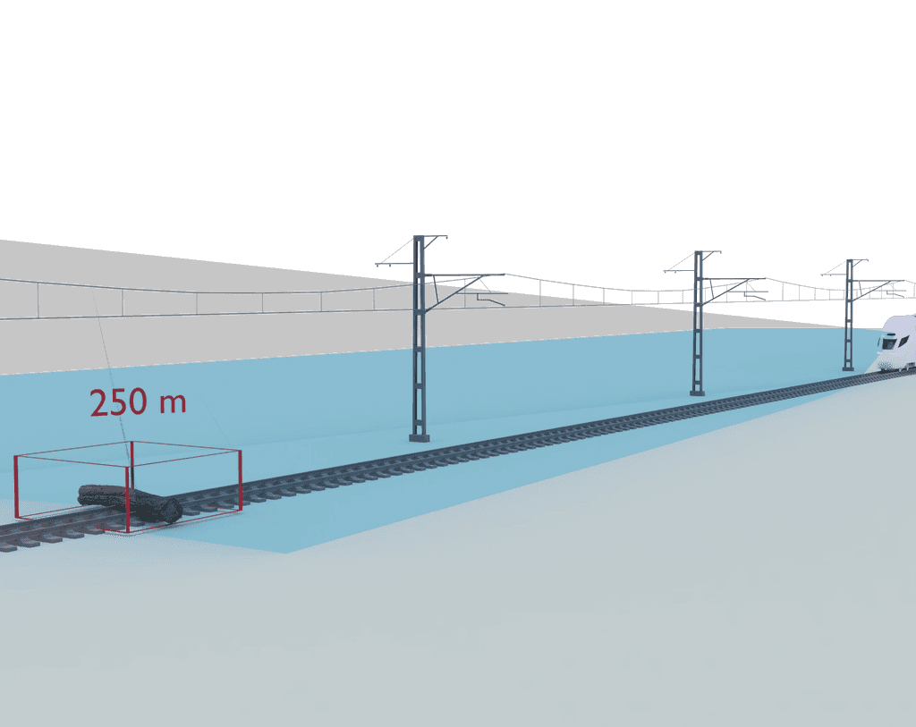
SpatialTwin: TrackVision
SpatialTwin: TrackVision
SpatialTwin: TrackVision
Advanced clearance monitoring and foreign object intrusion detection.
Advanced clearance monitoring and foreign object intrusion detection.
Advanced clearance monitoring and foreign object intrusion detection.
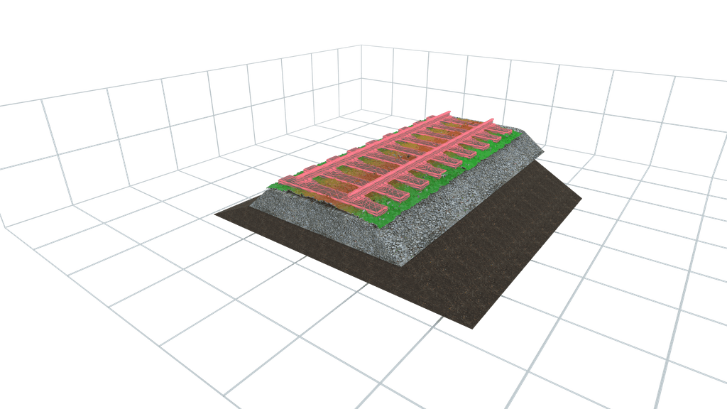
SpatialTwin: BallastVue
SpatialTwin: BallastVue
SpatialTwin: BallastVue
Top layer ballast profiling for stable railway operations.
Top layer ballast profiling for stable railway operations.
Top layer ballast profiling for stable railway operations.
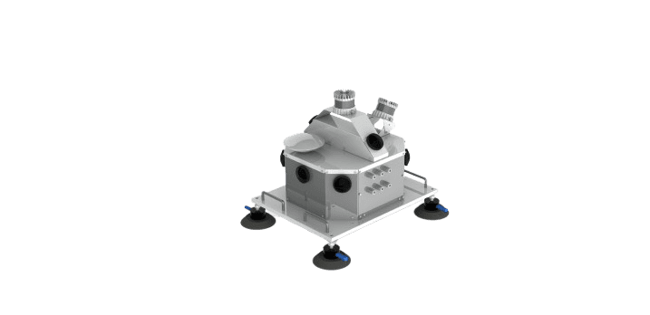
SpatialSense - 360 Mobile Mapping System
SpatialSense - 360 Mobile Mapping System
SpatialSense - 360 Mobile Mapping System
Urban mapping and multi layer data output for maintenance and work planning.
Urban mapping and multi layer data output for maintenance and work planning.


