Versatile. Precise. Efficient.
Revolutionizing Road Assets Management
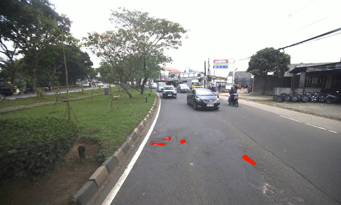
SS360 MMS is built for high-speed, high-precision mapping of urban infrastructure. Vehicle-mounted and equipped with advanced LiDAR, high-definition cameras, and GNSS/IMU positioning, it captures dense, survey-grade 3D data on the move, enabling efficient mapping, inspection, and digital twin creation for roads, highways, and city assets.
Unparalleled
mapping
capabilities.

High Resolution Multi Sensors

Stable mounting
on any vehicle surface.


Key Features

Multi Sensor
Scanning

Microsecond Synchronization

Geo-referenced
Point Clouds

Large-Scene
Coverage

High-Precision Scanning

Mountable on any Vehicle


Proven Impact. Real Results
Why Us


Application Usecases
See how our tech captures, processes, and transforms your road infrastructure into actionable data