
About Kodifly
We build AI for public assets and infrastructure.
Kodifly builds spatial AI for public assets and infrastructure. SpatialSense turns every walk, flight and scan into a dated record that the AI can compare, score and report on, our ScanStation LiDAR watches sites and assets around the clock, and our engineers install and support both for government bodies, operators, contractors and consultants across Asia and the Middle East. Offices in Hong Kong, Singapore and Saudi Arabia.
Implemented on 100+ sites in 10 markets.
Our mission
Kodifly exists to give the public bodies and operators who own, run and supervise physical assets a dated, checkable record of what is there. With that record, progress, condition, safety and compliance can be shown with evidence instead of argued after the fact.
Our AI reads the record, drafts the reports and answers questions about it, and your experts review the result before it goes out.
Built on real sites, at scale.
Our AI works on public works, facilities, slopes, railways and building sites across Asia, the Middle East and Europe, and every alert and report is tied to a dated measurement.
- 100+
- sites with Kodifly systems implemented.
- 10
- markets across Asia, the Middle East and Europe.
What we deliver
AI software, hardware and deployment for the people who own, run and supervise public assets and infrastructure.
AI site reports
SpatialSense captures a site by 360 camera, drone or LiDAR, detects change between visits, scores progress, checks against BIM and drafts the report.
Site capture hardware
ScanStation is our fixed-point LiDAR for sites and assets, mounted on poles, tower cranes and structures and feeding the same record as your walks and drone flights.
Deployment and support
Our own engineers install, integrate and support our hardware and software on government and infrastructure sites, and stay with the project after go-live.
Corridor monitoring
LiDAR monitoring of tree intrusion and vegetation along rail networks, and of slopes, facilities and works sites, with alerts tied to dated measurements.
Who we serve
Our AI is built for the people who answer for physical assets.
Government bodies
Departments and agencies that own, maintain or supervise public assets and public works.
Contractors and consultants
Teams who deliver and supervise works and must prove progress, safety and compliance.
Public work we have delivered
Public works we have delivered for Hong Kong government departments, by scope.
| Department | Scope |
|---|---|
| ArchSD | SmartEye site hardware and software |
| ArchSD | Site dashboard |
| CEDD | Slope gradient monitoring software |
| CEDD | SmartEye site hardware and software |
| CEDD | Volume monitoring software |
| CEDD | Drone survey |
| DSD | SmartEye site hardware and software |
| DSD | Site dashboard |
| DSD | SmartEye site hardware |
| DSD | Environmental monitoring and excavation-volume software |
| EMSD | Fixed-point LiDAR |
| GEO | Flexible barrier monitoring |
Our offices
Entities in Hong Kong, Singapore and Saudi Arabia, so you work with a local company in your own market.
Headquarters
Hong Kong
Engineering, product and AI, at Hong Kong Science Park.
Southeast Asia
Singapore
Our Singapore entity, serving clients across Southeast Asia.
Middle East
Saudi Arabia
Our Saudi entity, serving clients in the Kingdom and the wider Gulf.
On site
Kodifly hardware and engineers on public infrastructure and works sites.
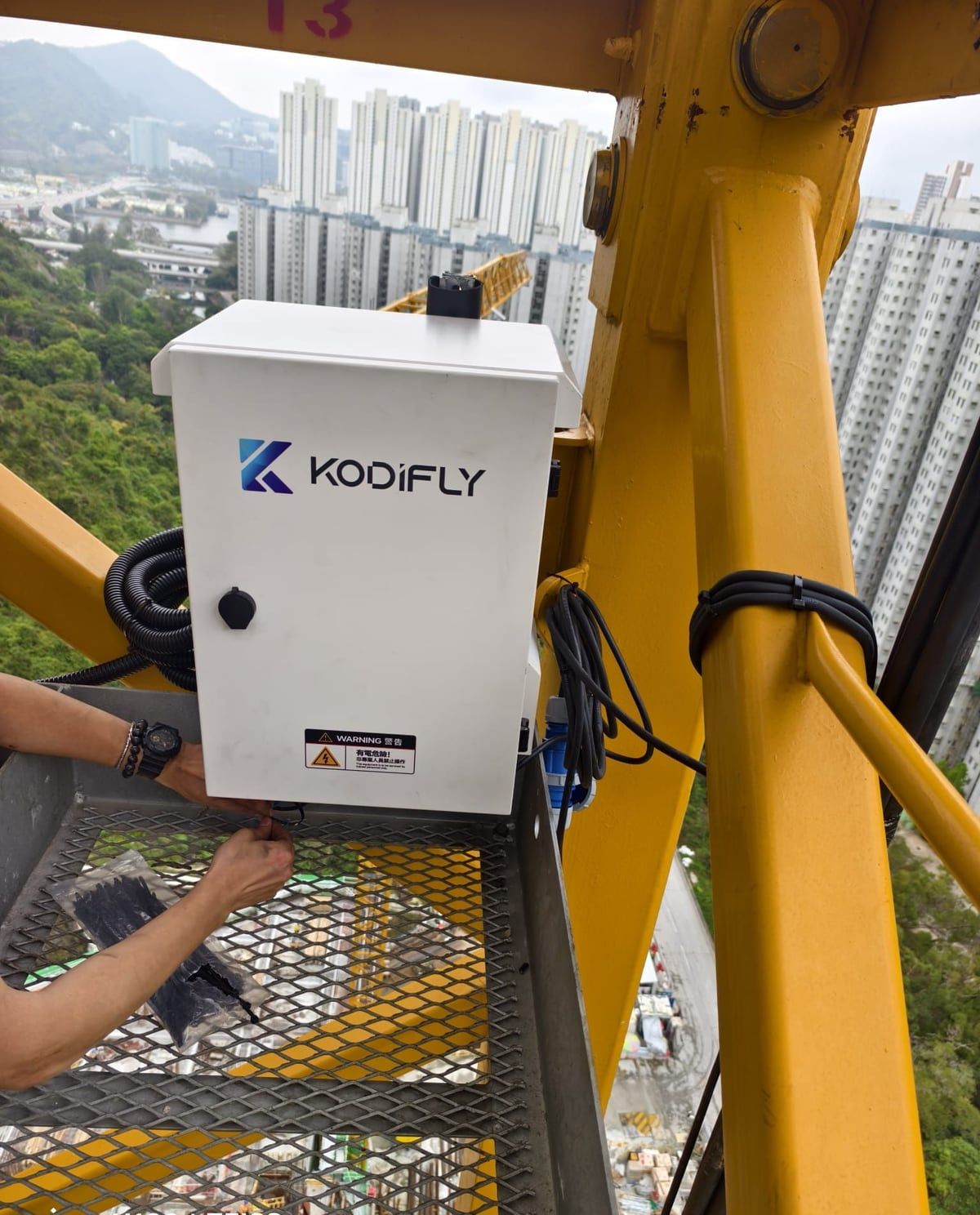
Site unit being installed on a tower crane. 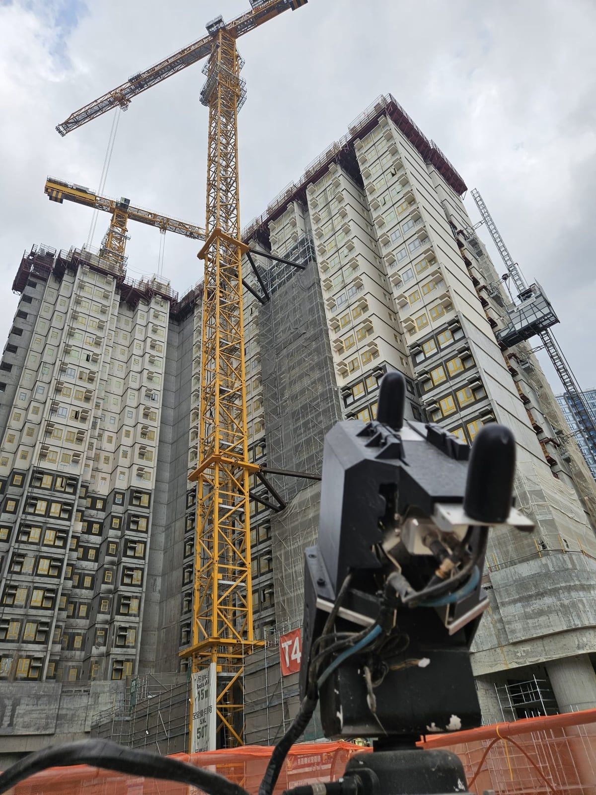
Fixed-point LiDAR facing residential blocks under construction. 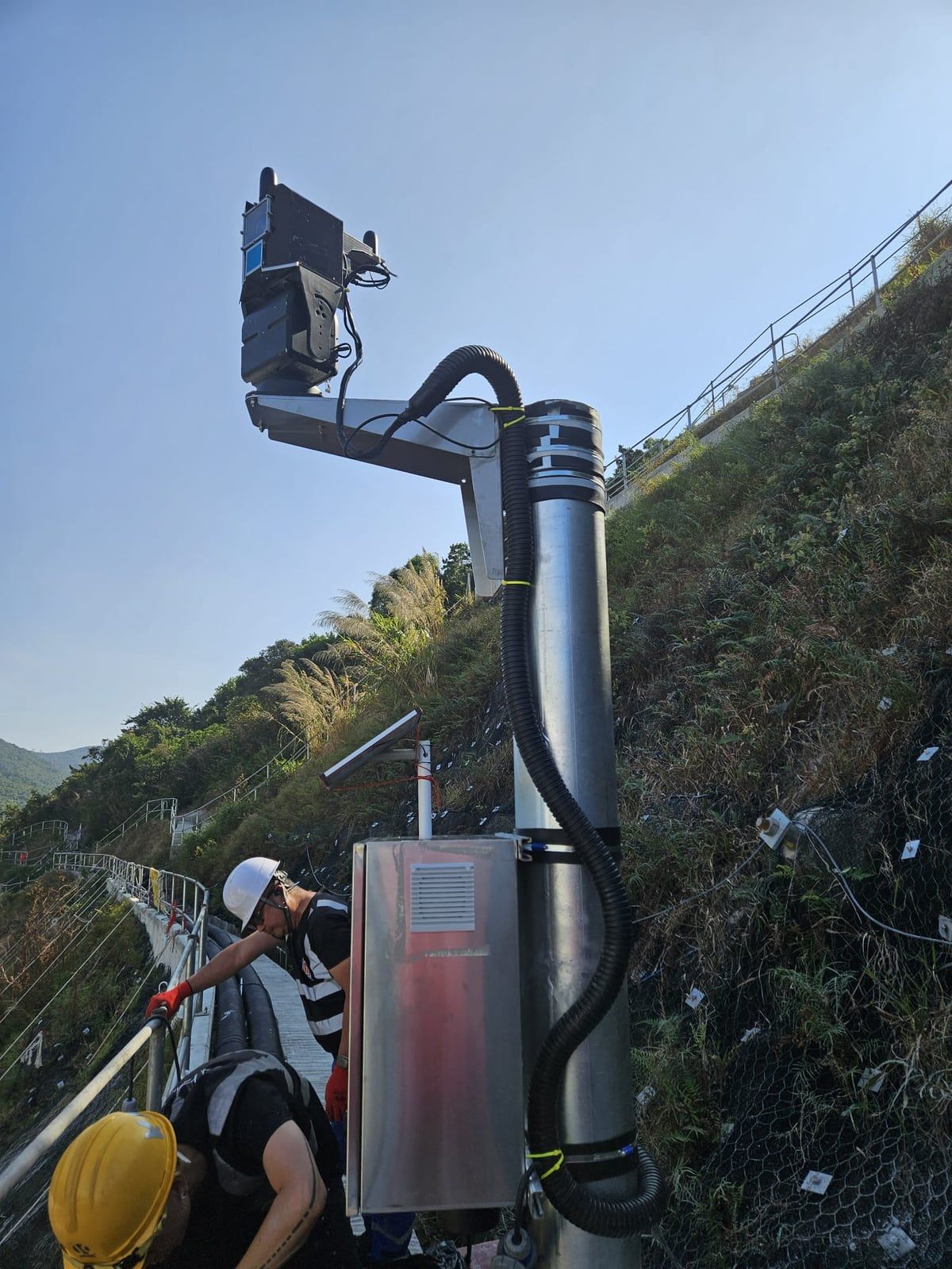
LiDAR unit and equipment cabinet on a pole at a public works site. 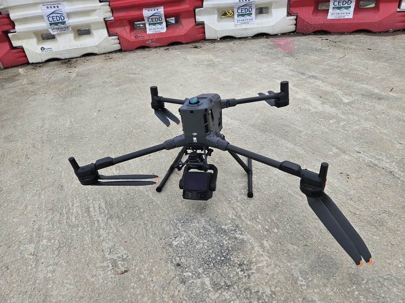
Survey drone at a works site. 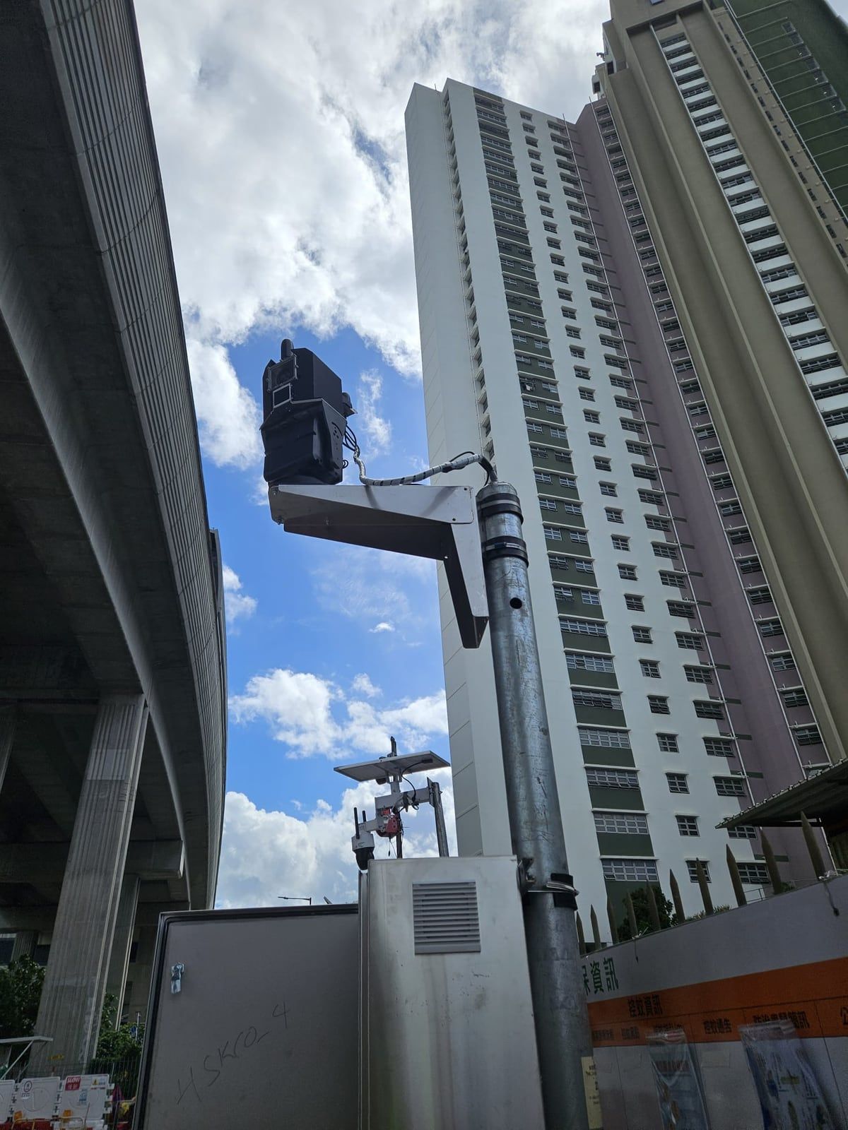
LiDAR unit on a pole beside a flyover and a housing estate. 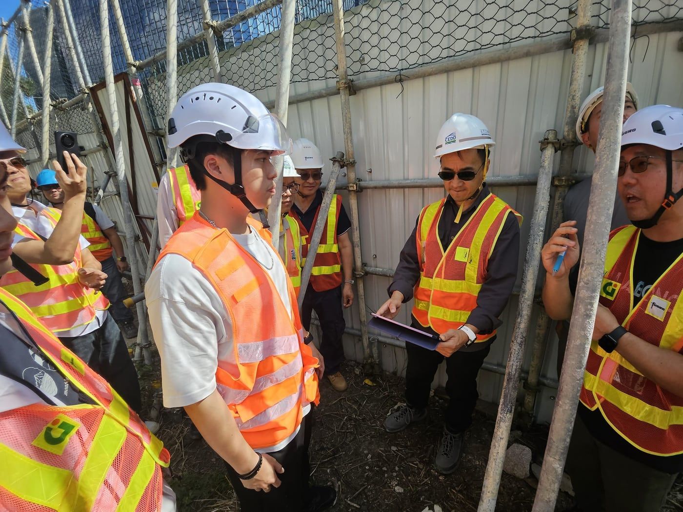
Site briefing with client and contractor staff.
At industry events
Kodifly at exhibitions and briefings in the infrastructure, construction and technology sectors.
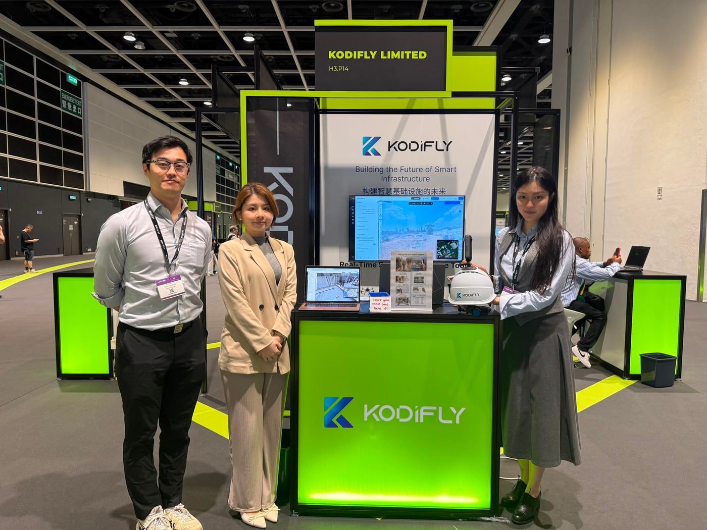
The Kodifly team at booth H3.P14, LEAP East 2026. 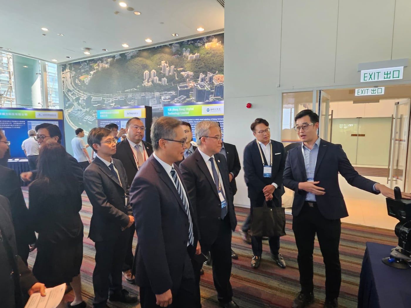
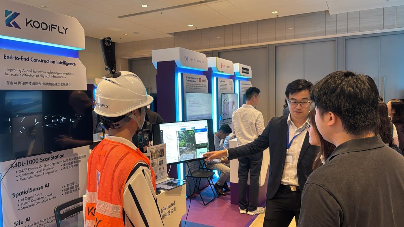
Briefing senior industry visitors. 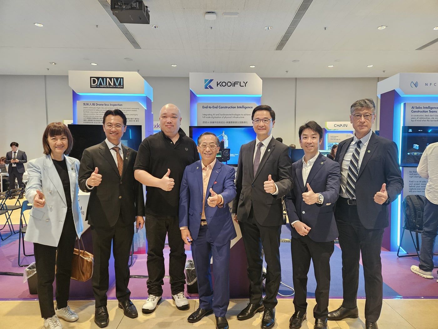
Guests at the Kodifly booth. 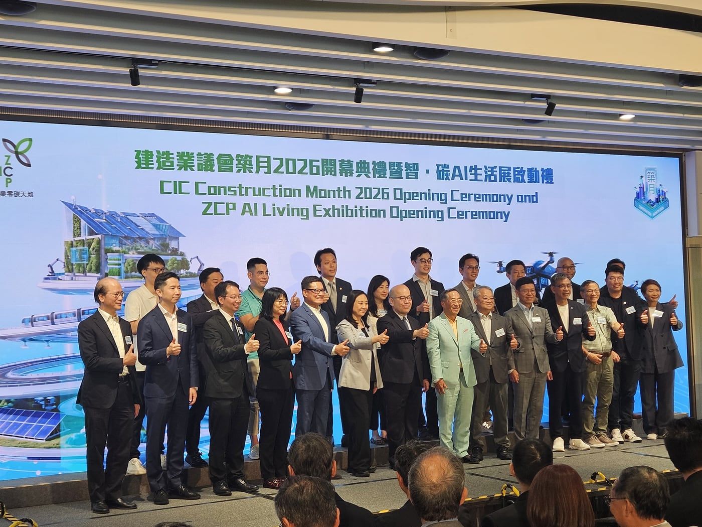
CIC Construction Month 2026 opening ceremony. ScanStation and SpatialSense on display. 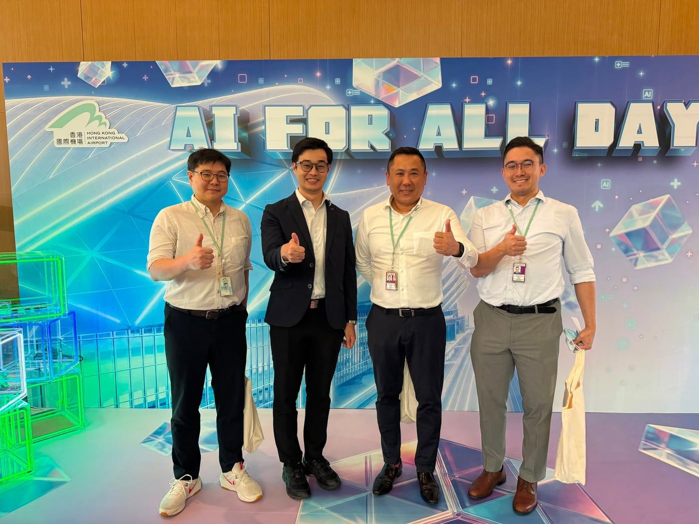
AI for All Day, Hong Kong International Airport.
Talk to us
Tell us the site you are working on and what you need to prove. Our team in Hong Kong, Singapore and Saudi Arabia usually replies within one working day.